 Maitum
Bukidnon
Tuguegarao City
Julita
Davao del Sur
San Manuel
Tandag
Balangiga
Loreto
Bislig
Maragusan
Montevista
Pagadian City
Ozamiz City
Nabunturan
Monkayo
Compostela
Laguna
Santander
Maitum
Bukidnon
Tuguegarao City
Julita
Davao del Sur
San Manuel
Tandag
Balangiga
Loreto
Bislig
Maragusan
Montevista
Pagadian City
Ozamiz City
Nabunturan
Monkayo
Compostela
Laguna
Santander
San Pedro on the map, Philippines
Where is located San Pedro
Exact location — San Pedro, Laguna, Calabarzon, Philippines, marked on the map with a red marker.
Coordinates
San Pedro, Philippines coordinates in decimal format: latitude — 14.3488961, longitude — 121.0392436. When converted to degrees, minutes, seconds San Pedro has the following coordinates: 14°20′56.03 north latitude and 121°2′21.28 east longitude.
Population
San Pedro, Laguna, Calabarzon, Philippines, according to our data the population is — 270,216 residents, which is about 0.2% of the total population of the country (Philippines).
Comparison of the population on the graph:
Exact time
Time zone for this location San Pedro — UTC +8 Asia/Manila. Exact time — thursday, 7 july 2024 year, 08 h. 51 minute.
Sunrise and sunset
San Pedro, sunrise and sunset data for a date — thursday 4.07.2024.
| Sunrise | Sunset | Day (duration) |
|---|---|---|
| 05:34 -0 minutes | 18:26 -0 minutes | 12 h. 54 minutes. -0 minutes |
You can control the scale of the map using the auxiliary tools to find out exactly where it is located San Pedro. When you change the scale of the map, the width of the ruler also changes (in kilometers and miles).
Nearby cities
The largest cities that are located nearby:
- Bacoor — 10 km
- Dasmariñas — 10 km
- Las Piñas — 12 km
- Imus — 12 km
- Silang — 16 km
- Taguig — 19 km
- Calamba — 20 km
- Cavite City — 21 km
- Pasay — 21 km
- Tanza — 21 km
- Binangonan — 22 km
- Taytay — 25 km
- Pasig City — 27 km
- Cainta — 27 km
- Antipolo — 32 km
- Malabon — 36 km
- Quezon City — 36 km
- San Mateo — 39 km
- Meycauayan — 45 km
Distance to neighboring capitals:
- Bandar Seri Begawan
 (Brunei) — 1246 km
 - Kuala Lumpur
 (Malaysia) — 2463 km
 - Belgrade
 (Serbia) — 9703 km
 - Freetown
 (Sierra Leone) — 14373 km
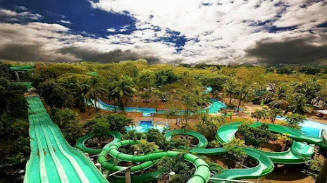
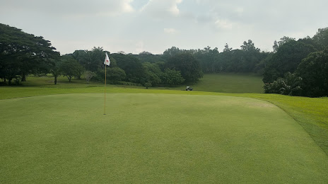
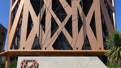
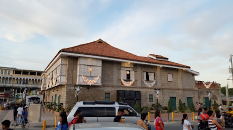
Attractions
Distance to the capital
Distance to the capital (Manila) is about — 28 km.