 Tubod
Del Carmen
San Isidro
Santa Monica
Dapa
Pilar
Malimono
San Francisco
Placer
Maco
Baras
Bongabong
San Pedro
Virac
General Tinio
Maluso
Lamitan City
Old Panamao
Carmen
Tubod
Del Carmen
San Isidro
Santa Monica
Dapa
Pilar
Malimono
San Francisco
Placer
Maco
Baras
Bongabong
San Pedro
Virac
General Tinio
Maluso
Lamitan City
Old Panamao
Carmen
Tuguegarao City on the map, Philippines
Where is located Tuguegarao City
Exact location — Tuguegarao City, Cagayan, Cagayan Valley, Philippines, marked on the map with a red marker.
Coordinates
Tuguegarao City, Philippines coordinates in decimal format: latitude — 17.6131813, longitude — 121.7270206. When converted to degrees, minutes, seconds Tuguegarao City has the following coordinates: 17°36′47.45 north latitude and 121°43′37.27 east longitude.
Population
Tuguegarao City, Cagayan, Cagayan Valley, Philippines, according to our data the population is — 115,105 residents, which is about 0.1% of the total population of the country (Philippines).
Comparison of the population on the graph:
Exact time
Time zone for this location Tuguegarao City — UTC +8 Asia/Manila. Exact time — saturday, 7 july 2024 year, 22 h. 53 minutes.
Sunrise and sunset
Tuguegarao City, sunrise and sunset data for a date — saturday 6.07.2024.
| Sunrise | Sunset | Day (duration) |
|---|---|---|
| 05:26 +1 minute | 18:29 -0 minutes | 13 h. 6 minutes. -1 minute |
You can control the scale of the map using the auxiliary tools to find out exactly where it is located Tuguegarao City. When you change the scale of the map, the width of the ruler also changes (in kilometers and miles).
Nearby cities
The largest cities that are located nearby:
- Santiago — 101 km
- Laoag City — 135 km
- Dagupan — 228 km
- Cabanatuan City — 248 km
- Tarlac City — 265 km
- Mabalacat City — 291 km
- Angeles — 299 km
- San Fernando — 305 km
- Baliuag — 306 km
- Malolos — 320 km
- Rodriguez — 320 km
- Meycauayan — 327 km
- Hagonoy — 329 km
- San Mateo — 330 km
- Quezon City — 333 km
- Malabon — 336 km
- Antipolo — 337 km
- Cainta — 341 km
- Pasig City — 342 km
Distance to neighboring capitals:
- Bandar Seri Begawan
 (Brunei) — 1596 km
 - Kuala Lumpur
 (Malaysia) — 2715 km
 - Belgrade
 (Serbia) — 9494 km
 - Freetown
 (Sierra Leone) — 14284 km
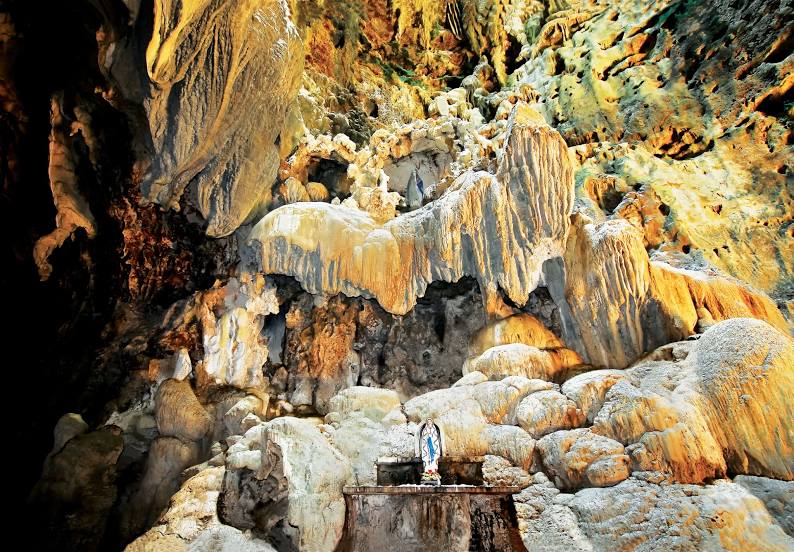
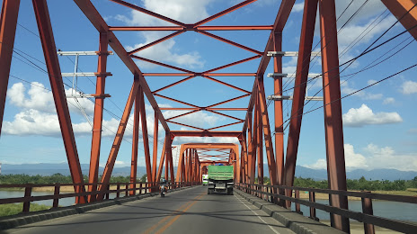
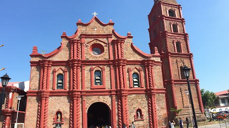
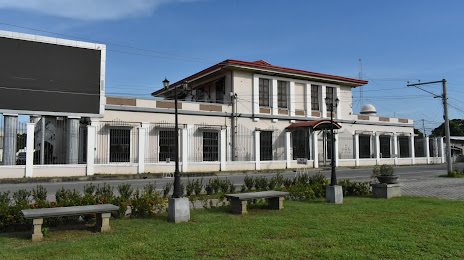
Attractions
Distance to the capital
Distance to the capital (Manila) is about — 344 km.