 Bongabong
Baras
Maco
Gamu
Badian
Toledo City
Manukan
San Manuel
Carranglan
San Juan
Baler
Cubao
Pangasinan
Toboso
San Mateo
Dasmariñas
Valencia
Irosin
Las Nieves
Bongabong
Baras
Maco
Gamu
Badian
Toledo City
Manukan
San Manuel
Carranglan
San Juan
Baler
Cubao
Pangasinan
Toboso
San Mateo
Dasmariñas
Valencia
Irosin
Las Nieves
Bislig on the map, Philippines
Where is located Bislig
Exact location — Bislig, Surigao del Sur, Caraga, Philippines, marked on the map with a red marker.
Coordinates
Bislig, Philippines coordinates in decimal format: latitude — 8.2100558, longitude — 126.2847751. When converted to degrees, minutes, seconds Bislig has the following coordinates: 8°12′36.2 north latitude and 126°17′5.19 east longitude.
Population
Bislig, Surigao del Sur, Caraga, Philippines, according to our data the population is — 67,567 residents, which is about 0.1% of the total population of the country (Philippines).
Comparison of the population on the graph:
Exact time
Time zone for this location Bislig — UTC +8 Asia/Manila. Exact time — saturday, 7 july 2024 year, 22 h. 53 minutes.
Sunrise and sunset
Bislig, sunrise and sunset data for a date — saturday 6.07.2024.
| Sunrise | Sunset | Day (duration) |
|---|---|---|
| 05:24 -0 minutes | 17:54 -0 minutes | 12 h. 30 minutes. -0 minutes |
You can control the scale of the map using the auxiliary tools to find out exactly where it is located Bislig. When you change the scale of the map, the width of the ruler also changes (in kilometers and miles).
Nearby cities
The largest cities that are located nearby:
- Butuan City — 115 km
- Davao City — 145 km
- Cagayan de Oro — 183 km
- Surigao City — 191 km
- Marawi City — 219 km
- Iligan City — 223 km
- Cotabato City — 249 km
- General Santos — 262 km
- Dipolog City — 325 km
- Lapu-Lapu City — 337 km
- Dumaguete — 347 km
- Mandaue City — 347 km
- Cebu City — 350 km
- Ormoc City — 359 km
- Tacloban City — 364 km
- Kabankalan — 418 km
- Bago City — 441 km
- Bacolod — 449 km
- Calbayog City — 464 km
Distance to neighboring capitals:
- Bandar Seri Begawan
 (Brunei) — 1306 km
 - Kuala Lumpur
 (Malaysia) — 2779 km
 - Belgrade
 (Serbia) — 10592 km
 - Freetown
 (Sierra Leone) — 15165 km
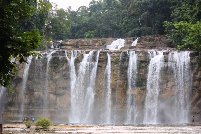
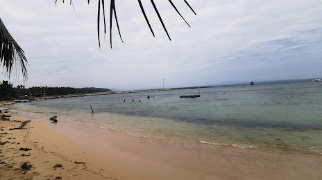
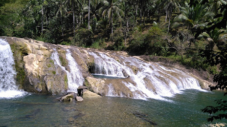
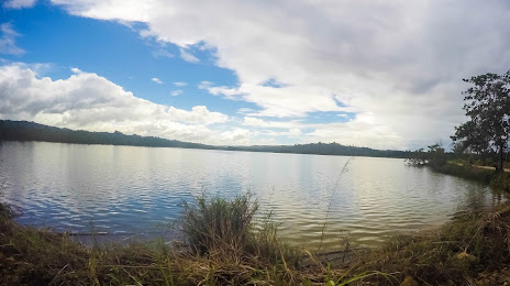
Attractions
Distance to the capital
Distance to the capital (Manila) is about — 916 km.