 Labason
Lasam
Himamaylan City
San Roque
Pambujan
Las Navas
Tinambacan
Laurel
Banga
San Pascual
Claveria
San Jacinto
San Fernando
Monreal
Batuan
San Enrique
Moises Padilla
La Castellana
La Carlota City
Labason
Lasam
Himamaylan City
San Roque
Pambujan
Las Navas
Tinambacan
Laurel
Banga
San Pascual
Claveria
San Jacinto
San Fernando
Monreal
Batuan
San Enrique
Moises Padilla
La Castellana
La Carlota City
Sibonga on the map, Philippines
Where is located Sibonga
Exact location — Sibonga, Cebu, Central Visayas, Philippines, marked on the map with a red marker.
Coordinates
Sibonga, Philippines coordinates in decimal format: latitude — 10.0431063, longitude — 123.5951925. When converted to degrees, minutes, seconds Sibonga has the following coordinates: 10°2′35.18 north latitude and 123°35′42.69 east longitude.
Population
Sibonga, Cebu, Central Visayas, Philippines, according to our data the population is — 11,993 residents, which is about 0% of the total population of the country (Philippines).
Comparison of the population on the graph:
Exact time
Time zone for this location Sibonga — UTC +8 Asia/Manila. Exact time — thursday, 8 august 2024 year, 18 h. 08 minutes.
Sunrise and sunset
Sibonga, sunrise and sunset data for a date — thursday 1.08.2024.
| Sunrise | Sunset | Day (duration) |
|---|---|---|
| 05:37 -0 minutes | 18:06 -0 minutes | 12 h. 30 minutes. -0 minutes |
You can control the scale of the map using the auxiliary tools to find out exactly where it is located Sibonga. When you change the scale of the map, the width of the ruler also changes (in kilometers and miles).
Nearby cities
The largest cities that are located nearby:
- Cebu City — 44 km
- Mandaue City — 49 km
- Lapu-Lapu City — 50 km
- Kabankalan — 82 km
- Bago City — 85 km
- Dumaguete — 87 km
- Bacolod — 95 km
- Iloilo City — 135 km
- Ormoc City — 153 km
- Dipolog City — 166 km
- Roxas City — 193 km
- Tacloban City — 203 km
- Cagayan de Oro — 209 km
- Surigao City — 211 km
- Iligan City — 213 km
- Marawi City — 239 km
- Butuan City — 245 km
- Calbayog City — 249 km
- Cotabato City — 321 km
Distance to neighboring capitals:
- Bandar Seri Begawan
 (Brunei) — 1113 km
 - Kuala Lumpur
 (Malaysia) — 2538 km
 - Belgrade
 (Serbia) — 10240 km
 - Freetown
 (Sierra Leone) — 14815 km
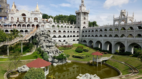
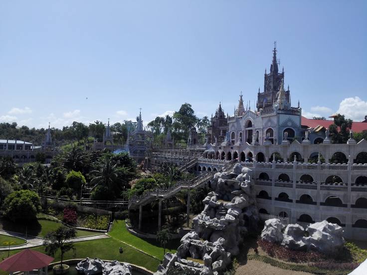
Attractions
Distance to the capital
Distance to the capital (Manila) is about — 581 km.