
 Kubáňovo
Kurima
Iža
Látky
Zemplín
Nové Mesto
Polichno
Záhorská Bystrica
Devínska Nová Ves
Bzince pod Javorinou
Dražkovce
Vyšný Kručov
Topoľníky
Kráľovský Chlmec
Chlmec
Mikušovce
Bátka
Chorváty
Rozhanovce
Kubáňovo
Kurima
Iža
Látky
Zemplín
Nové Mesto
Polichno
Záhorská Bystrica
Devínska Nová Ves
Bzince pod Javorinou
Dražkovce
Vyšný Kručov
Topoľníky
Kráľovský Chlmec
Chlmec
Mikušovce
Bátka
Chorváty
Rozhanovce
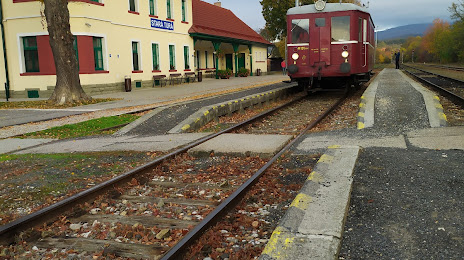
Stará Turá on the map, Slovakia
Where is located Stará Turá
Exact location — Stará Turá, Slovakia, marked on the map with a red marker.
Coordinates
Stará Turá, Slovakia coordinates in decimal format: latitude — 48.7808322, longitude — 17.6897947. When converted to degrees, minutes, seconds Stará Turá has the following coordinates: 48°46′51 north latitude and 17°41′23.26 east longitude.
Population
Stará Turá, Slovakia, according to our data the population is — 10,291 residents, which is about 0.2% of the total population of the country (Slovakia).
Comparison of the population on the graph:
Exact time
Time zone for this location Stará Turá — UTC +2 Europe/Bratislava. Exact time — saturday, 7 july 2024 year, 08 h. 23 minutes.
Sunrise and sunset
Stará Turá, sunrise and sunset data for a date — saturday 20.07.2024.
| Sunrise | Sunset | Day (duration) |
|---|---|---|
| 05:12 +1 minute | 20:38 -1 minute | 15 h. 24 minutes. -2 minutes |
You can control the scale of the map using the auxiliary tools to find out exactly where it is located Stará Turá. When you change the scale of the map, the width of the ruler also changes (in kilometers and miles).
Nearby cities
The largest cities that are located nearby:
- Brno
 (Czech Republic) — 91 km
 - Olomouc (Czech Republic) — 95 km
- Vienna
 (Austria) — 116 km
 - Győr
 (Hungary) — 121 km
 - Ostrava (Czech Republic) — 122 km
- Bielsko-Biala
 (Poland) — 151 km
 - Rybnik (Poland) — 158 km
- Budapest (Hungary) — 174 km
- Gliwice (Poland) — 181 km
- Ruda Slaska (Poland) — 183 km
- Székesfehérvár (Hungary) — 185 km
- Zabrze (Poland) — 187 km
- Katowice (Poland) — 189 km
- Chorzow (Poland) — 190 km
- Bytom (Poland) — 194 km
- Sosnowiec (Poland) — 194 km
- Dabrowa Gornicza (Poland) — 201 km
- Opole (Poland) — 210 km
- Kraków (Poland) — 214 km
Distance to neighboring capitals:
- Vienna (Austria) — 116 km
- Budapest (Hungary) — 174 km
- Prague (Czech Republic) — 276 km
- Ljubljana
 (Slovenia) — 386 km
 - Warsaw (Poland) — 450 km
- Belgrade
 (Serbia) — 491 km
 - Berlin
 (Germany) — 514 km
 - Bucharest
 (Romania) — 804 km
 - Minsk
 (Belarus) — 890 km
 - Kyiv
 (Ukraine) — 942 km
 - Moscow
 (Russia) — 1554 km
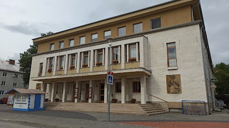
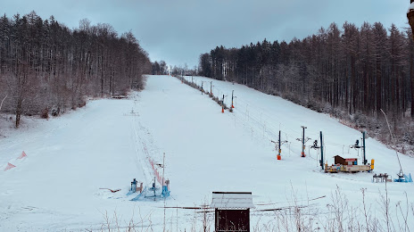
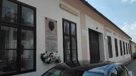
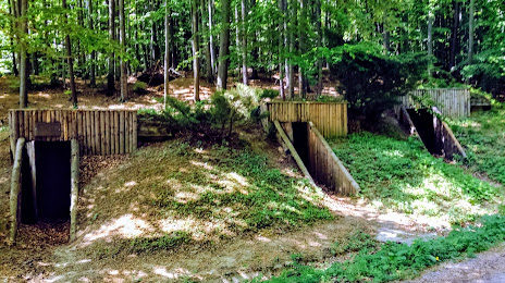
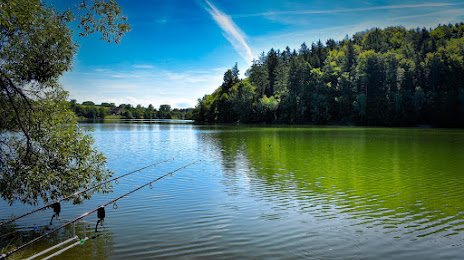
Attractions

Distance to the capital
Distance to the capital (Bratislava) is about — 83 km.