
 Batizovce
Vyhne
Dubnica nad Váhom
Sliač
Sabinov
Tisovec
Želiezovce
Levoča
Stropkov
Dunajská Streda
Bojnice
Čadca
Topoľčany
Dolný Kubín
Šamorín
Žiar nad Hronom
Bardejov
Trebišov
Štúrovo
Batizovce
Vyhne
Dubnica nad Váhom
Sliač
Sabinov
Tisovec
Želiezovce
Levoča
Stropkov
Dunajská Streda
Bojnice
Čadca
Topoľčany
Dolný Kubín
Šamorín
Žiar nad Hronom
Bardejov
Trebišov
Štúrovo
Komárno on the map, Slovakia
Where is located Komárno
Exact location — Komárno, Komárno District, Nitra Region, Slovakia, marked on the map with a red marker.
Coordinates
Komárno, Slovakia coordinates in decimal format: latitude — 47.7625785, longitude — 18.1294132. When converted to degrees, minutes, seconds Komárno has the following coordinates: 47°45′45.28 north latitude and 18°7′45.89 east longitude.
Population
Komárno, Komárno District, Nitra Region, Slovakia, according to our data the population is — 37,365 residents, which is about 0.7% of the total population of the country (Slovakia).
Comparison of the population on the graph:
Exact time
Time zone for this location Komárno — UTC +2 Europe/Bratislava. Exact time — saturday, 7 july 2024 year, 12 h. 49 minutes.
Sunrise and sunset
Komárno, sunrise and sunset data for a date — saturday 20.07.2024.
| Sunrise | Sunset | Day (duration) |
|---|---|---|
| 05:14 +1 minute | 20:33 -1 minute | 15 h. 18 minutes. -2 minutes |
You can control the scale of the map using the auxiliary tools to find out exactly where it is located Komárno. When you change the scale of the map, the width of the ruler also changes (in kilometers and miles).
Nearby cities
The largest cities that are located nearby:
- Győr
 (Hungary) — 37 km
 - Székesfehérvár (Hungary) — 67 km
- Budapest (Hungary) — 74 km
- Vienna
 (Austria) — 138 km
 - Kecskemét (Hungary) — 152 km
- Pécs (Hungary) — 187 km
- Brno
 (Czech Republic) — 193 km
 - Miskolc (Hungary) — 198 km
- Olomouc (Czech Republic) — 212 km
- Graz (Austria) — 217 km
- Szeged (Hungary) — 227 km
- Ostrava (Czech Republic) — 228 km
- Bielsko-Biala
 (Poland) — 237 km
 - Košice — 252 km
- Rybnik (Poland) — 260 km
- Debrecen (Hungary) — 262 km
- Nyíregyháza (Hungary) — 267 km
- Zagreb
 (Croatia) — 272 km
 - Ruda Slaska (Poland) — 280 km
Distance to neighboring capitals:
- Budapest (Hungary) — 74 km
- Vienna (Austria) — 140 km
- Ljubljana
 (Slovenia) — 334 km
 - Prague (Czech Republic) — 373 km
- Belgrade
 (Serbia) — 376 km
 - Warsaw (Poland) — 538 km
- Berlin
 (Germany) — 627 km
 - Bucharest
 (Romania) — 718 km
 - Kyiv
 (Ukraine) — 949 km
 - Minsk
 (Belarus) — 950 km
 - Moscow
 (Russia) — 1601 km
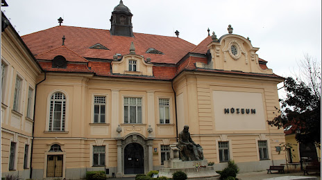
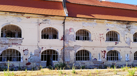
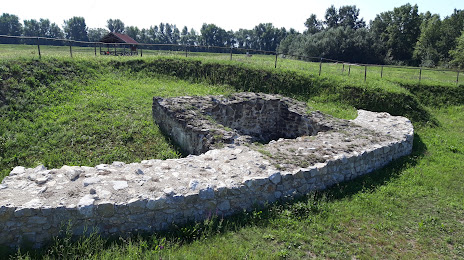
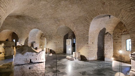
Attractions


Distance to the capital
Distance to the capital (Bratislava) is about — 87 km.