
 Maureville
Samoëns
Gréning
Toulouse
Volx
Goudet
Méhoncourt
Saint-Hymer
Pontcarré
Maureville
Samoëns
Gréning
Toulouse
Volx
Goudet
Méhoncourt
Saint-Hymer
Pontcarré
Fondation Blachere on the map, Apt, France
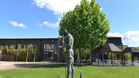
Photo
Where is located Fondation Blachere
Fondation Blachere — local attraction, which is located at zi les Bourguignons, 382 Av. des Argiles, 84400 Apt, France and belongs to the category — art center. Average visitor rating for this place — 4.6 (according to 308 ratings, information from open sources and relevant for 2022).
Exact location — Fondation Blachere, marked on the map with a red marker.
You can get directions to Fondation Blachere on the map from your location.
What else is interesting in Apt? You can see all the sights if you go to the city page.
Coordinates
Fondation Blachere, France coordinates in decimal format: latitude — 43.8906168856062, longitude — 5.374757725054875. When converted to degrees, minutes, seconds Fondation Blachere has the following coordinates: 43°53′26.22 north latitude and 5°22′29.13 east longitude.
Nearby cities
The largest cities that are located nearby:
- Aix-en-Provence — 39 km
- Marseille — 64 km
- Nimes — 83 km
- Toulon — 94 km
- Montpellier — 125 km
- Grenoble — 147 km
- Nice — 150 km
- Saint-Étienne — 190 km
- Lyon — 213 km
- Villeurbanne — 213 km
- Turin
 (Italy) — 222 km
 - Perpignan — 242 km
- Geneva
 (Switzerland) — 263 km
 - Clermont-Ferrand — 275 km
- Genoa (Italy) — 287 km
- Novara (Italy) — 305 km
- Lausanne (Switzerland) — 307 km
- Toulouse — 318 km
- Milan (Italy) — 342 km
Distance to the capital
Distance to the capital (Paris) is about — 599 km.